
Mexico is expected to experience rainfall and cooler temperatures in some areas this week, according to the report National Meteorological Service (SMN).
SMN has warned that rainfall could cause reduced visibility, landslides and river flooding. It urged residents to follow the Civil Protection authority’s recommendations because strong winds could knock down trees and advertisements.
Rain forecast by state
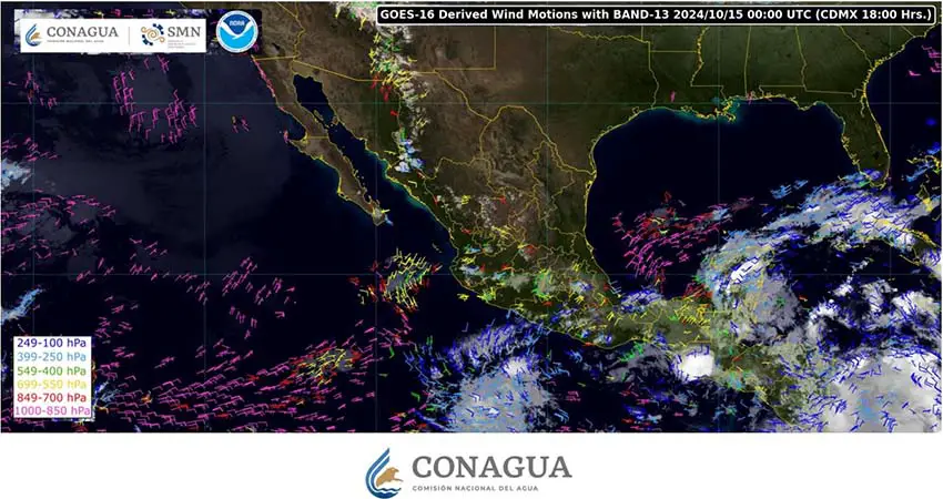
Weather forecasts predict that the low pressure system is moving from the Caribbean towards Central America, passing over the southern part of the Yucatán Peninsula, the Gulf of Mexico, and the Isthmus of Tehuantepec. This system, interacting with a cold front, will cause precipitation this week in several states:
- Heavy rainfall (75 to 150 mm): Chiapas.
- Very heavy rainfall (50 to 75 mm): Campeche, Tabasco and Yucatán.
- Heavy rainfall (25 to 50 mm): Oaxaca, Quintana Roo and Veracruz.
Meanwhile, another low pressure channel extending to the north, west, and center of the country, coupled with the influx of moisture from the Pacific Ocean, will cause rain in the following countries:
- Heavy rainfall (25 to 50 mm): Guerrero and Michoacán.
- Light rain (5 to 25 mm): Chihuahua, Colima, Durango, State of Mexico, Jalisco, Morelos, Nayarit, Puebla and Sinaloa.
- Isolated rain (0.1 to 5 mm): Baja California, Baja California Sur, Mexico City, Guanajuato, Tlaxcala and Zacatecas.
SMN also predicted northerly winds of 50 to 70 kilometers per hour in the Isthmus and Tehuantepec Bay. Potential dust devils and wind gusts of 40 to 60 kilometers per hour are expected in Baja California Sur, Chihuahua and Sonora.
Weather forecast by region
Minimum temperatures of minus 5 to zero degrees Celsius and frost are expected in mountainous areas in the states of Chihuahua, Durango and México.

Temperatures ranging from zero to 5 degrees Celsius are expected in higher areas in Aguascalientes, Coahuila, Guanajuato, Hidalgo, Jalisco, Michoacán, Nuevo León, Querétaro, San Luis Potosí, Oaxaca, Puebla, Tlaxcala, Veracruz and Zacatecas.
In contrast, high temperatures are expected in other regions of the country.
Baja California Sur, Sinaloa and Sonora will experience temperatures ranging from 35 to 40 degrees Celsius.
Meanwhile, temperatures ranging between 30 and 35 degrees are expected in Baja California, Campeche, Chiapas, western Chihuahua, Coahuila, Colima, western Durango, Guerrero, Jalisco, Michoacan, Nayarit, Nuevo Leon, Oaxaca, San Luis Potosi, Tabasco, Tamaulipas , Quintana Roo, Veracruz and Yucatan.
Daily Mexican News


